IDENTIFICATION
Complete land knowledge
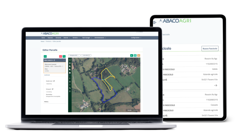
Improve land management with automatic identification tools
We geolocalise at any level such as field, plot and parcel, ensuring completeness of information on agricultural and non-agricultural land.

Some specific applications related to identification
Land Parcel Identification System
The key component of the Integrated Administration and Control System for area-based subsidies and rural development measures. A modern support tool that simplifies applications for financial support.
Designed as the main tool for first pillar CAP implementation – direct payments to farmers, i.e. for identifications of eligible land for payments. However, reference parcels, orthophotos and land use information are the main components required for land management decisions.
Allows:
Geolocalising
at field, parcel or plot level
Classification
of images in VHR automatically by using artificial intelligence
Processing
arable land and agricultural plots
Guarantee
95 per cent of accuracy
Simplification
of land management
Some specific applications related to identification
Farm registry
The core-subject identification. Farm and farmers registry, with a powerful catalogue of information describing agricultural activity (territorial components, livestock, buildings, means of production, etc.), all serving the other application components of the platform.
Allows:
Registration
and management of certified information with validations thanks to interconnection with external reference databases (Tax Registry, Zootechnical Registries, Sanitary Registers, etc.)
Connecting
the "stable" information of the file components with the forms for 'time' declarations (crop plans, treatment records, aid applications)
Visualization
for an up-to-date "snapshot" of the farm, providing a reservoir of valuable information for authorised users (farmers, public bodies users), either via browser or via ad hoc components of the modular mobile solution
